Do You Have Aeronautical Survey requirement We Can Help With?
WHO WE ARE
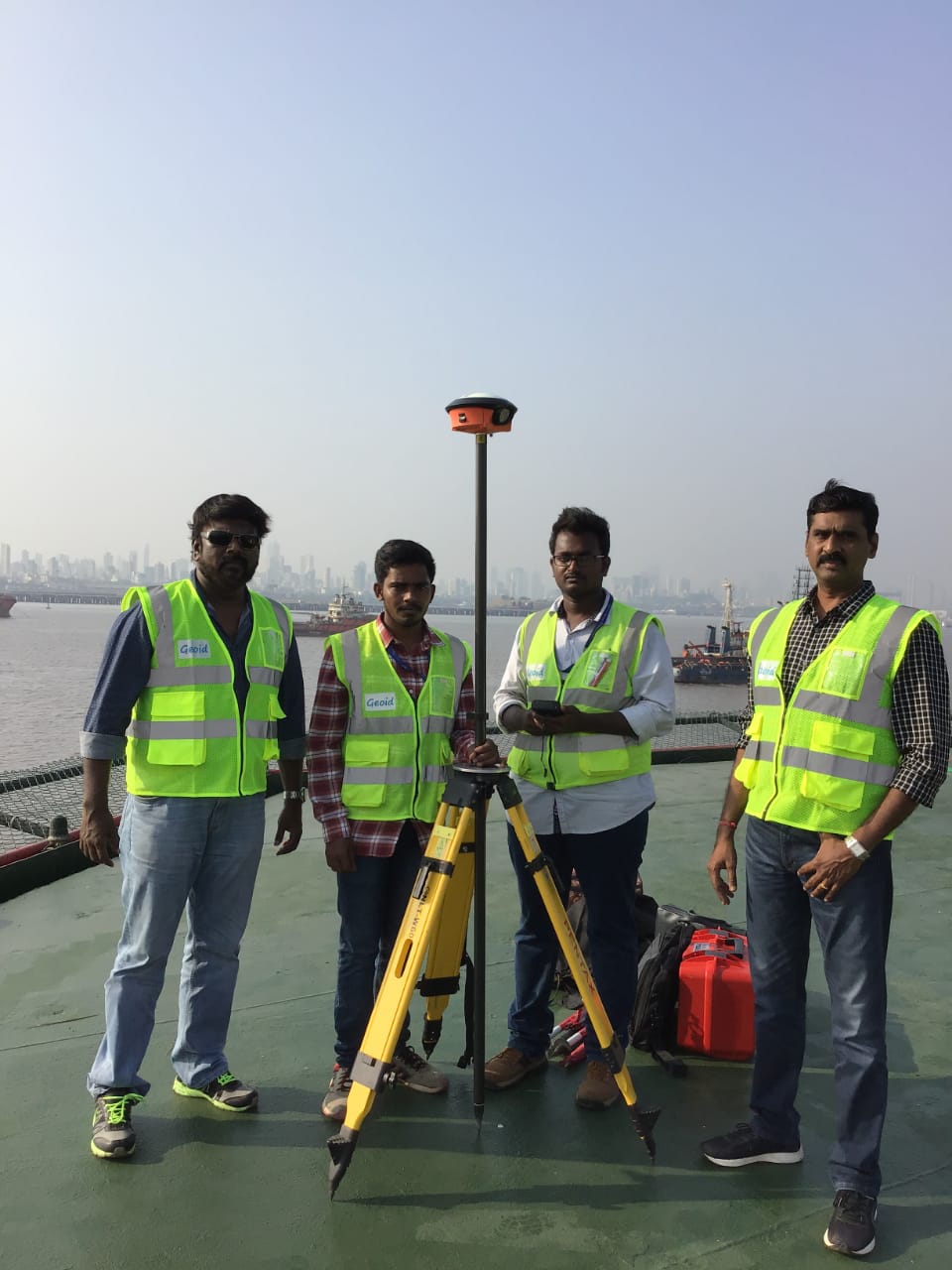
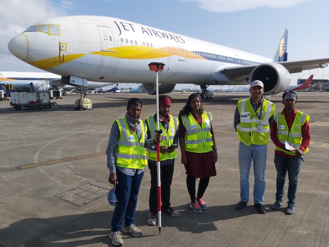
We are 10+ year old specialised professional Surveying & Mapping company based in Chennai, India, providing Complete GIS Solution to our clients with Airport Survey, Helipad Survey, Helideck Survey, Topography Survey, Mapping & GIS requirements. We use the ‘state of the art’ advanced technology dual frequency DGPS (Differential Global Positioning / GNSS System), Total Station, customized GIS solution. We offer our cost effective quality services to Government, Semi Government, Private Organizations & Corporates all over the globe, with high speed and best in class accuracy.
Surveying is at the core of what “GCPL” does. We began originally as a surveying-only firm and today that focus prevails in many of our projects, though we have expanded to many other areas of service. Our team consists of professional surveyors and skilled crews with the experience and knowledge to complete your project successfully.
WHAT WE DO
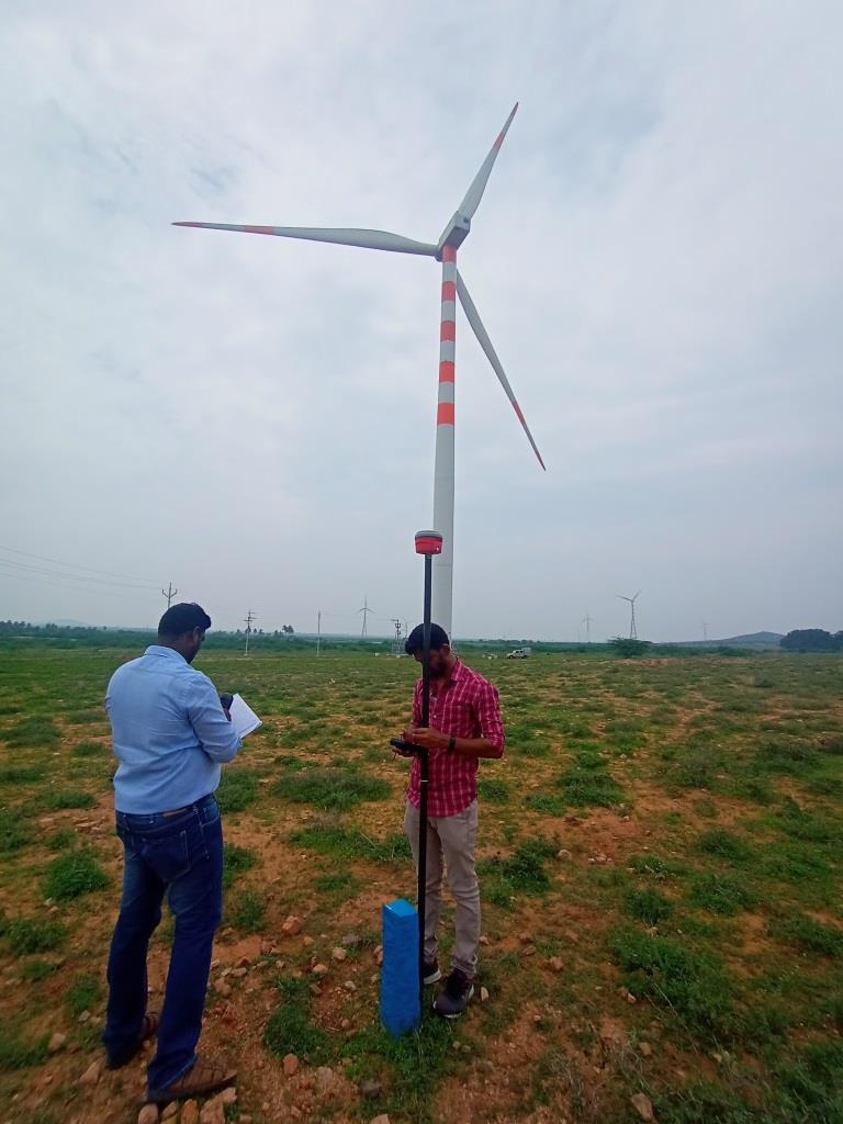
GCPL has been providing a full suite of geospatial services to support the varying data needs of our global clients. Today, Geoid Consultancy proudly offers NOC Survey for AAI/IAF, MOD Survey for Wind turbine /Solar Power Projects, Greenfield Airport Survey, Brownfield Airport Survey, OffShore Helideck Survey,Helipad Survey, photogrammetry, GIS and asset management, 3D scanning and Modeling and mobile solutions development. Additionally, We have wide network of business partners includes mobile mapping and LIDAR based data collection, flight procedure developers, and many other valyable skills. GCPL has proven to be a valuable team member on many projects in India and abroad.
We are empanelled Surveyors of Airports Authority of India (AAI) for conducting Aeronautical Survey of Airports belonging to AAI.
Meet Our Team
We are the sum of our collective passion, vision and expertise
Recent Works
Geoid Consultancy has been providing a full suite of geospatial services to support the varying data needs of our global clients. Today, Geoid Consultancy proudly offers NOC Survey for AAI/IAF, Greenfield Airport Survey, Brownfield Airport Survey,OffShore Helideck Survey,Helipad Survey, photogrammetry, GIS and asset management, software development, and mobile solutions development. Additionally, We have wide network of business partners includes mobile mapping and LIDAR based data collection, flight procedure developers, and many other vaulable skills. Geoid Consultancy has proven to be a valuable team member on many projects in India and abroad, below are just a few.
Expert Partners Agree

“Geoid Consultancy are very responsive to any requests, and get things done on time or sooner.
It is without reservation that I can recommend this firm for any project that has a GIS required component.”

“Geoid Consultancy has been a reliable and consistent partner in our projects. The Geoid Consultancy team’s responsiveness fits with our core values. The timely delivery by Geoid Consultancy has helped us meet our project deadline and reduced the stress on my group. We continue to receive fast, friendly service, very accurate mapping at a very reasonable price.”
Our Clients
Surveying is at the core of what “GCPL” does. We began originally as a surveying-only firm and today that focus prevails in many of our projects, though we have expanded to many other areas of service. Our team consists of professional surveyors and skilled crews with the experience and knowledge to complete your project successfully.
Get A Quote Today
Our professional staff includes engineer, and a customer retention expert. We have special expertise in NOC Survey, Airport Obstacle Survey,Airport Feasibility Survey,Topographic Survey and Mapping.


